Technology & Traceability
From land to tree, from tree to harvest, from harvest to product — FISOFA is building traceable supply chains that connect rural producers to transparent, premium markets.
FISOFA combines traditional land stewardship with modern mapping and traceability technology. Using drone mapping, LiDAR surveys, biomass data, GPS-linked field records, and tree-level tagging, we help communities understand the true potential of their land, protect sensitive areas, restore native forests, and build fully traceable agricultural and forestry supply chains.
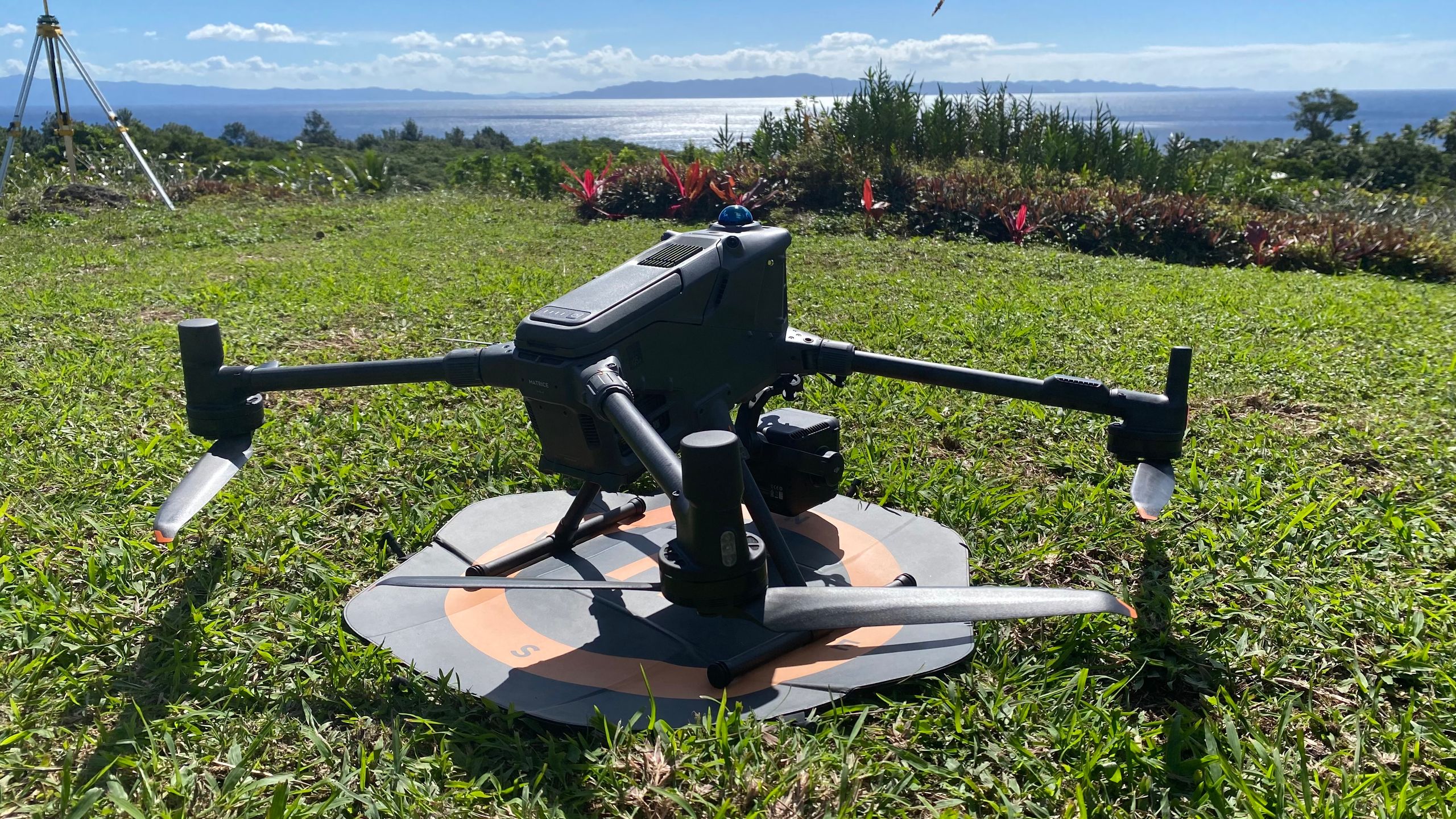
Drone mapping
Before land is developed, it must be understood. FISOFA uses drone mapping to assess land conditions, vegetation cover, access, slope, water movement, existing farm assets, degraded areas, and potential production zones.
LiDAR land surveys
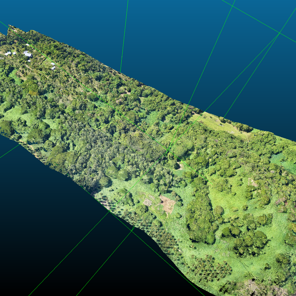
LiDAR mapping allows highly detailed land and canopy analysis — identifying elevation, slope, vegetation structure, existing biomass, erosion risks, water flows, watershed areas, and suitable zones for agroforestry or reforestation.
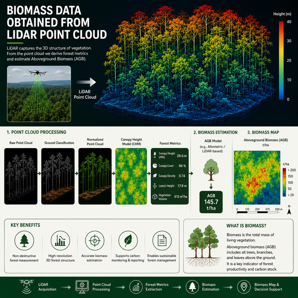
Biomass data
Updated biomass data gives FISOFA, communities, and partners a clear picture of existing vegetation and long-term restoration potential — supporting baseline reporting, reforestation monitoring, agroforestry planning, and environmental impact measurement.
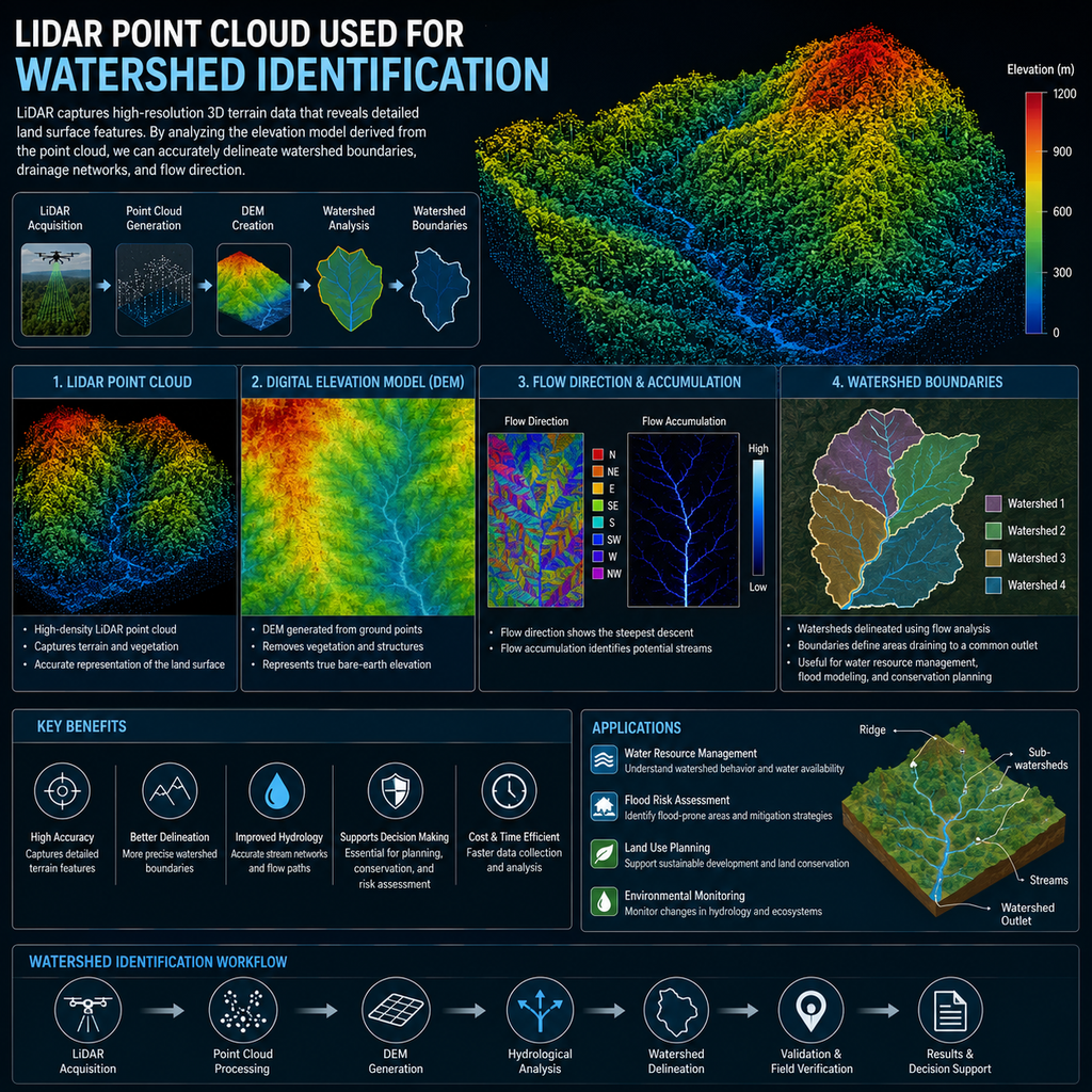
Watershed identification
Mapping data helps us identify watershed zones, riparian buffers, steep slopes, water catchments, and environmentally sensitive areas where native reforestation should take priority.
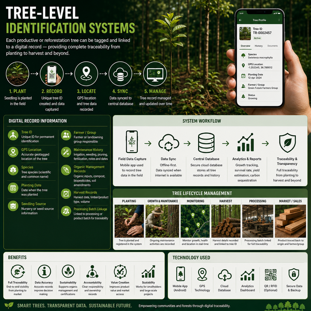
Tagged trees
FISOFA is creating tree-level identification systems. Each productive or reforestation tree can be tagged and linked to a digital record — including tree ID, GPS location, species, planting date, seedling source, farmer or landowning group, maintenance history, organic management records, harvest records, and processing batch linkage.
Impact reporting
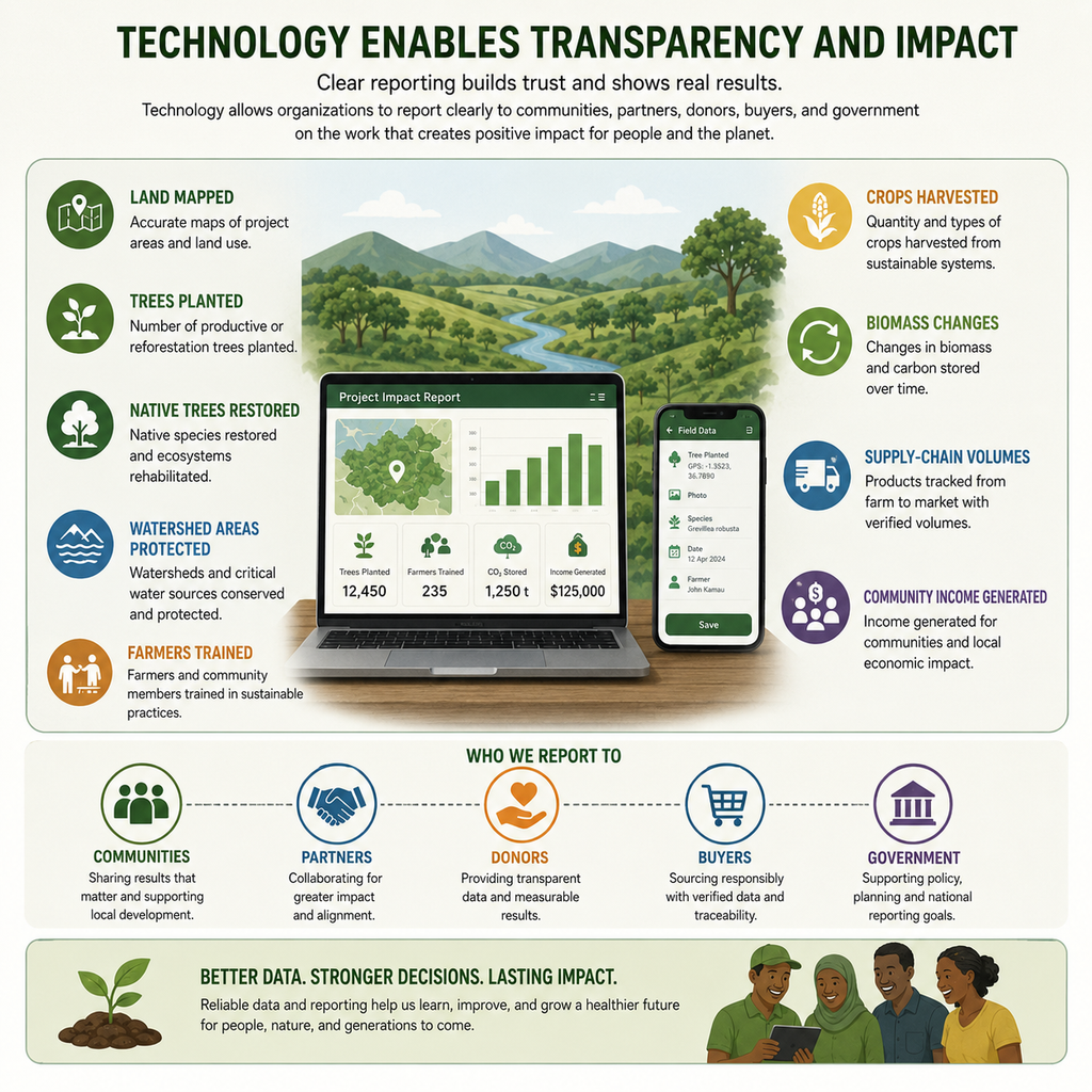
Technology allows FISOFA to report clearly to communities, partners, donors, buyers, and government: land mapped, trees planted, native trees restored, watershed areas protected, farmers trained, crops harvested, biomass changes, supply-chain volumes, and community income generated.